New road
Introduction
The photograph on this page of New road by Gill as part of the Geograph project.
The Geograph project started in 2005 with the aim of publishing, organising and preserving representative images for every square kilometre of Great Britain, Ireland and the Isle of Man.

There are currently over 7.5m images from over 14,400 individuals and you can help contribute to the project by visiting https://www.geograph.org.uk
New road
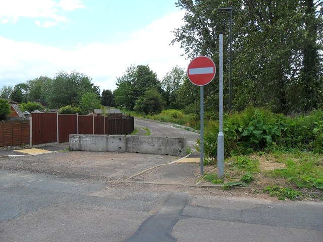
Image: © Gill Taken: 9 Jun 2015
The (still) blocked off route onto the new housing estate up by the old Federal Mogul site.
Images are licensed for reuse under creativecommons.org/licenses/by-sa/2.0
Image Location
Latitude
51.720412
Longitude
-2.524423