Buttercup-filled meadow
Introduction
The photograph on this page of Buttercup-filled meadow by Jonathan Billinger as part of the Geograph project.
The Geograph project started in 2005 with the aim of publishing, organising and preserving representative images for every square kilometre of Great Britain, Ireland and the Isle of Man.

There are currently over 7.5m images from over 14,400 individuals and you can help contribute to the project by visiting https://www.geograph.org.uk
Buttercup-filled meadow
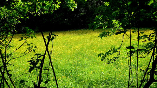
Image: © Jonathan Billinger Taken: 9 Jun 2015
A small piece of grazing land surrounded by Edgehills Plantation and viewed from George Lane.
Images are licensed for reuse under creativecommons.org/licenses/by-sa/2.0
Image Location
Latitude
51.831655
Longitude
-2.476955