Nagden Cottages from the Two Creeks Walk
Introduction
The photograph on this page of Nagden Cottages from the Two Creeks Walk by Marathon as part of the Geograph project.
The Geograph project started in 2005 with the aim of publishing, organising and preserving representative images for every square kilometre of Great Britain, Ireland and the Isle of Man.

There are currently over 7.5m images from over 14,400 individuals and you can help contribute to the project by visiting https://www.geograph.org.uk
Nagden Cottages from the Two Creeks Walk
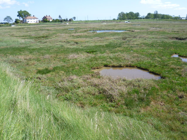
Image: © Marathon Taken: 6 Jun 2015
Faversham Creek is just beyond the salt marsh ahead. The Two Creeks Wharf follows Faversham Creek here with Nagden Cottages visible across the other side of the creek. The Saxon Shore Way follows both sides of the creek. See http://www.faversham.org/upload/docs/two%20creeks%20leaflet%20FINAL.pdf for more information about and details of the Two Creeks Walk.
Images are licensed for reuse under creativecommons.org/licenses/by-sa/2.0
Image Location
Latitude
51.330456
Longitude
0.913544