Blackmore Road, Fryerning, near Ingatestone
Introduction
The photograph on this page of Blackmore Road, Fryerning, near Ingatestone by Malc McDonald as part of the Geograph project.
The Geograph project started in 2005 with the aim of publishing, organising and preserving representative images for every square kilometre of Great Britain, Ireland and the Isle of Man.

There are currently over 7.5m images from over 14,400 individuals and you can help contribute to the project by visiting https://www.geograph.org.uk
Blackmore Road, Fryerning, near Ingatestone
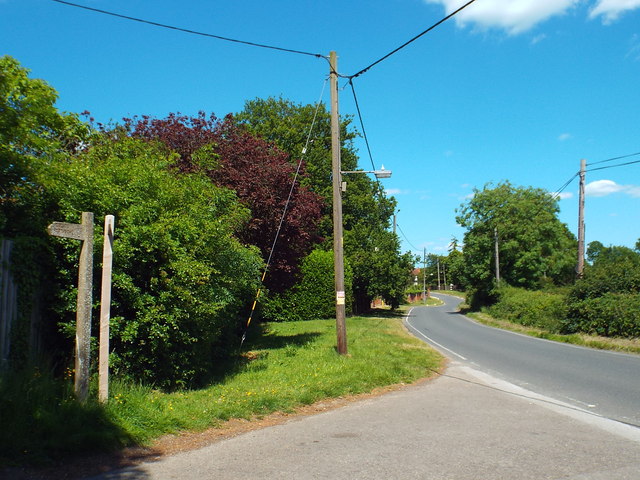
Image: © Malc McDonald Taken: 7 Jun 2015
A view along Blackmore Road as it ehads into the small hamlet of Fryerning, in Essex. The signs at the left of the image indicate the routes of public footpaths.
Images are licensed for reuse under creativecommons.org/licenses/by-sa/2.0
Image Location
Latitude
51.675937
Longitude
0.369063