Tor Park Road
Introduction
The photograph on this page of Tor Park Road by Derek Harper as part of the Geograph project.
The Geograph project started in 2005 with the aim of publishing, organising and preserving representative images for every square kilometre of Great Britain, Ireland and the Isle of Man.

There are currently over 7.5m images from over 14,400 individuals and you can help contribute to the project by visiting https://www.geograph.org.uk
Tor Park Road
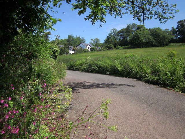
Image: © Derek Harper Taken: 4 Jun 2015
A charming country lane has just crossed the Yalberton Brook, and approaches new houses at Woodland Glade, but in fact the Yalberton Industrial estate is on the left behind the trees.
Images are licensed for reuse under creativecommons.org/licenses/by-sa/2.0
Image Location
Latitude
50.422395
Longitude
-3.597974