Pont Ucha'r Cwm / Upper Cwm Bridge
Introduction
The photograph on this page of Pont Ucha'r Cwm / Upper Cwm Bridge by Alan Richards as part of the Geograph project.
The Geograph project started in 2005 with the aim of publishing, organising and preserving representative images for every square kilometre of Great Britain, Ireland and the Isle of Man.

There are currently over 7.5m images from over 14,400 individuals and you can help contribute to the project by visiting https://www.geograph.org.uk
Pont Ucha'r Cwm / Upper Cwm Bridge
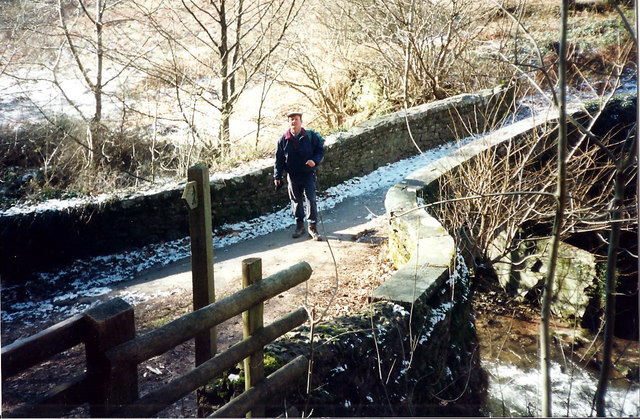
Image: © Alan Richards Taken: 8 Feb 1996
Cerddwyr ar Bont Ucha'r Cwm yn Llanbedr Ystrad Yw. Walker on Upper Cwm Bridge at Llanbedr [Ystrad Yw](trans. St Peters' Church in the vale of yews).
Images are licensed for reuse under creativecommons.org/licenses/by-sa/2.0
Image Location
Latitude
51.876723
Longitude
-3.102801