New Crown, St. Paul's Road, N1
Introduction
The photograph on this page of New Crown, St. Paul's Road, N1 by Mike Quinn as part of the Geograph project.
The Geograph project started in 2005 with the aim of publishing, organising and preserving representative images for every square kilometre of Great Britain, Ireland and the Isle of Man.

There are currently over 7.5m images from over 14,400 individuals and you can help contribute to the project by visiting https://www.geograph.org.uk
New Crown, St. Paul's Road, N1
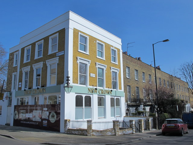
Image: © Mike Quinn Taken: 11 Mar 2015
Clearly a former pub in the process of being converted into flats (sorry, "apartments"). Not so clearly, for a while up to May 2011, the building was the Bastille Brasserie http://pubshistory.com/LondonPubs/Islington/NewCrown.shtml .
Images are licensed for reuse under creativecommons.org/licenses/by-sa/2.0
Image Location
Latitude
51.547196
Longitude
-0.091822