Dwellings at Bousfield
Introduction
The photograph on this page of Dwellings at Bousfield by Karl and Ali as part of the Geograph project.
The Geograph project started in 2005 with the aim of publishing, organising and preserving representative images for every square kilometre of Great Britain, Ireland and the Isle of Man.

There are currently over 7.5m images from over 14,400 individuals and you can help contribute to the project by visiting https://www.geograph.org.uk
Dwellings at Bousfield
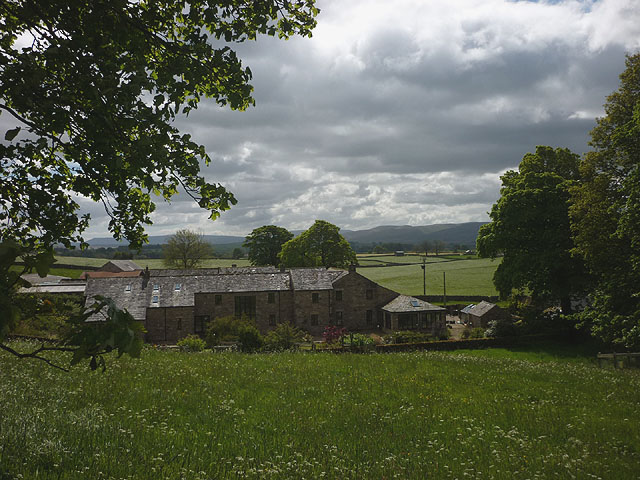
Image: © Karl and Ali Taken: 7 Jun 2015
These are either recently built or converted farm buildings. Howgill Fells in the distance.
Images are licensed for reuse under creativecommons.org/licenses/by-sa/2.0
Image Location
Latitude
54.474209
Longitude
-2.605949