Industrial Estate, Tollingham
Introduction
The photograph on this page of Industrial Estate, Tollingham by Chris as part of the Geograph project.
The Geograph project started in 2005 with the aim of publishing, organising and preserving representative images for every square kilometre of Great Britain, Ireland and the Isle of Man.

There are currently over 7.5m images from over 14,400 individuals and you can help contribute to the project by visiting https://www.geograph.org.uk
Industrial Estate, Tollingham
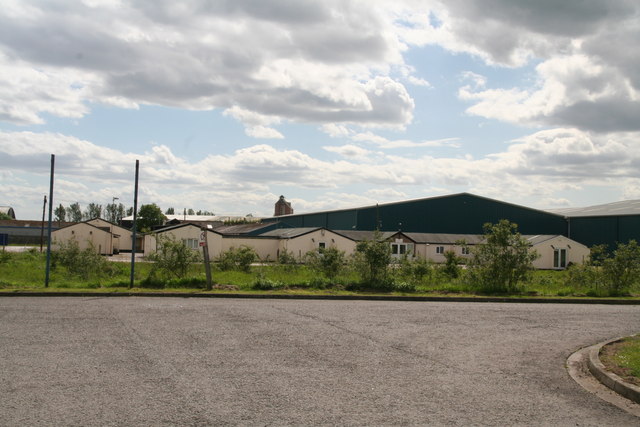
Image: © Chris Taken: 6 Jun 2015
Formerly R.A.F. Holme on Spalding Moor. See http://www.airfieldinformationexchange.org/community/showthread.php?350-Holme-on-Spalding-Moor&s=2dbe6deb94315d8ff3e030e7556bad71 and http://en.wikipedia.org/wiki/RAF_Holme-on-Spalding_Moor
Images are licensed for reuse under creativecommons.org/licenses/by-sa/2.0
Image Location


Leaflet Map data © OpenStreetMap
Latitude
53.810517
Longitude
-0.740229