Town below
Introduction
The photograph on this page of Town below by Jackie Proven as part of the Geograph project.
The Geograph project started in 2005 with the aim of publishing, organising and preserving representative images for every square kilometre of Great Britain, Ireland and the Isle of Man.

There are currently over 7.5m images from over 14,400 individuals and you can help contribute to the project by visiting https://www.geograph.org.uk
Town below
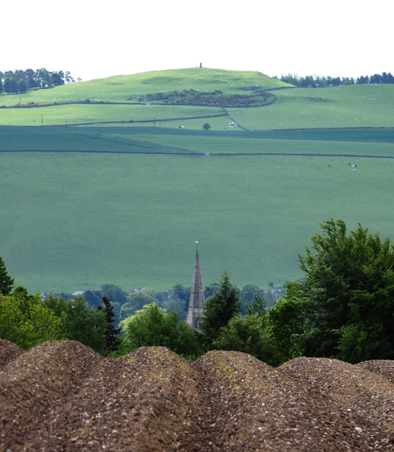
Image: © Jackie Proven Taken: 7 Jun 2015
Hill of Tarvit to the south of Cupar, from ploughed fields above Dalgairn. The steeple of Cupar and St John's Church indicates the town nestled in the lush farmland.
Images are licensed for reuse under creativecommons.org/licenses/by-sa/2.0
Image Location
Latitude
56.328683
Longitude
-3.017636