Llwybr Halio Caerbont Tow Path
Introduction
The photograph on this page of Llwybr Halio Caerbont Tow Path by Alan Richards as part of the Geograph project.
The Geograph project started in 2005 with the aim of publishing, organising and preserving representative images for every square kilometre of Great Britain, Ireland and the Isle of Man.

There are currently over 7.5m images from over 14,400 individuals and you can help contribute to the project by visiting https://www.geograph.org.uk
Llwybr Halio Caerbont Tow Path
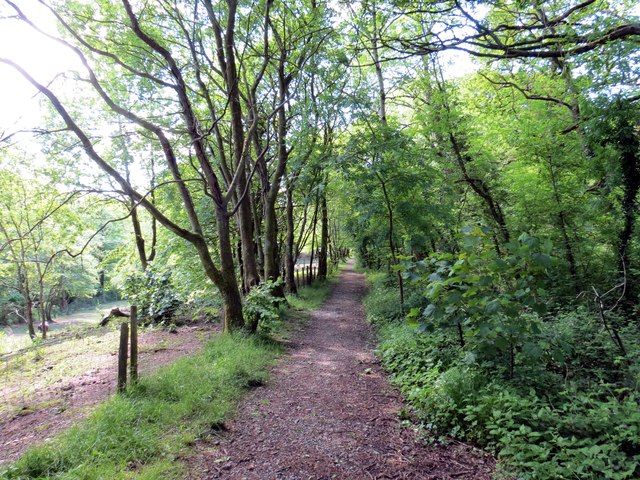
Image: © Alan Richards Taken: 7 Jun 2015
Llwybr halio yr hen gamlas a gludai lo a charreg calch i lawr y cwm. Tow path of the former canal which transported coal and limestone down the Swansea Valley.
Images are licensed for reuse under creativecommons.org/licenses/by-sa/2.0
Image Location
Latitude
51.791601
Longitude
-3.740025