Stainforth Village Car Park and Toilet Block
Introduction
The photograph on this page of Stainforth Village Car Park and Toilet Block by John S Turner as part of the Geograph project.
The Geograph project started in 2005 with the aim of publishing, organising and preserving representative images for every square kilometre of Great Britain, Ireland and the Isle of Man.

There are currently over 7.5m images from over 14,400 individuals and you can help contribute to the project by visiting https://www.geograph.org.uk
Stainforth Village Car Park and Toilet Block
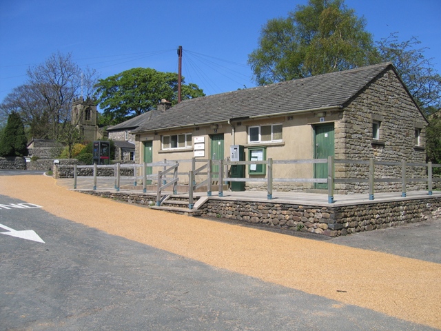
Image: © John S Turner Taken: 30 Apr 2007
Stainforth car park is on the opposite side of the B6479 to the picnic site seen at Image A walkway under the road links the car park to the picnic site. The church tower can be seen to the left of the toilet block.
Images are licensed for reuse under creativecommons.org/licenses/by-sa/2.0
Image Location


Leaflet Map data © OpenStreetMap
Latitude
54.101095
Longitude
-2.275684