Path Crossroads, St Davids
Introduction
The photograph on this page of Path Crossroads, St Davids by Jeff Gogarty as part of the Geograph project.
The Geograph project started in 2005 with the aim of publishing, organising and preserving representative images for every square kilometre of Great Britain, Ireland and the Isle of Man.

There are currently over 7.5m images from over 14,400 individuals and you can help contribute to the project by visiting https://www.geograph.org.uk
Path Crossroads, St Davids
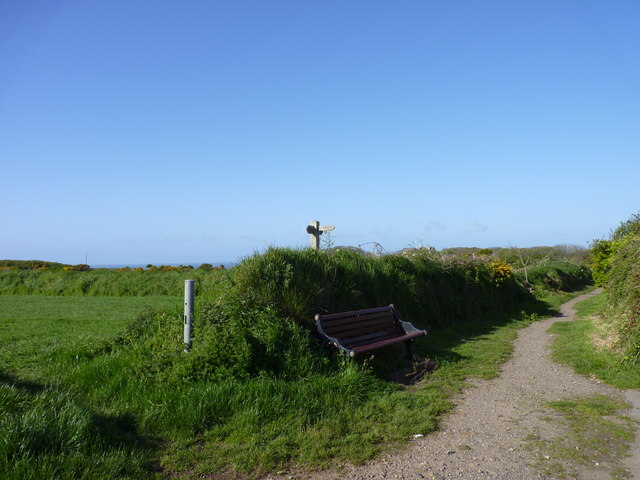
Image: © Jeff Gogarty Taken: 16 May 2015
This is at the bottom of Pen Y Garn (to the right in the photo). Go ahead then take a junction to the left to go to St Nons.
Images are licensed for reuse under creativecommons.org/licenses/by-sa/2.0
Image Location


Leaflet Map data © OpenStreetMap
Latitude
51.878827
Longitude
-5.26515