Moat Farmhouse, Swineshead
Introduction
The photograph on this page of Moat Farmhouse, Swineshead by Bikeboy as part of the Geograph project.
The Geograph project started in 2005 with the aim of publishing, organising and preserving representative images for every square kilometre of Great Britain, Ireland and the Isle of Man.

There are currently over 7.5m images from over 14,400 individuals and you can help contribute to the project by visiting https://www.geograph.org.uk
Moat Farmhouse, Swineshead
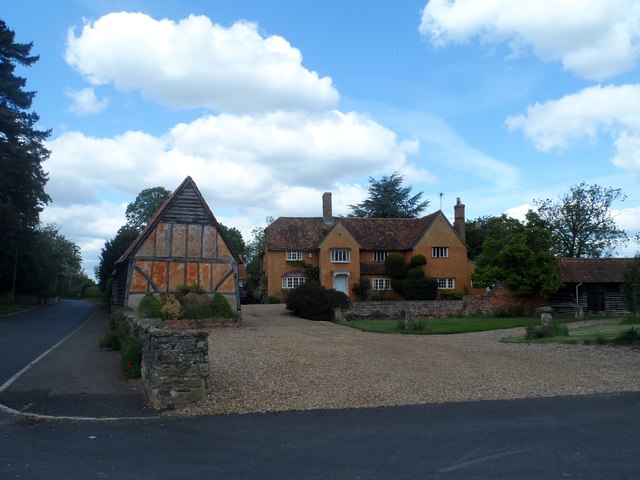
Image: © Bikeboy Taken: 30 May 2015
This was formerly the manor house. It was built in C16 and there are traces of a moat. See http://www.britishlistedbuildings.co.uk/en-36338-moat-farmhouse-swineshead-#.VXQgBs9Viko for entry in British Listed Buildings. The barn to the left is C18 see http://www.britishlistedbuildings.co.uk/en-36337-barn-south-east-of-moat-farmhouse-swinesh#.VXQgqs9Viko .
Images are licensed for reuse under creativecommons.org/licenses/by-sa/2.0
Image Location
Latitude
52.280819
Longitude
-0.451877