Little Paradise
Introduction
The photograph on this page of Little Paradise by Simon Carey as part of the Geograph project.
The Geograph project started in 2005 with the aim of publishing, organising and preserving representative images for every square kilometre of Great Britain, Ireland and the Isle of Man.

There are currently over 7.5m images from over 14,400 individuals and you can help contribute to the project by visiting https://www.geograph.org.uk
Little Paradise
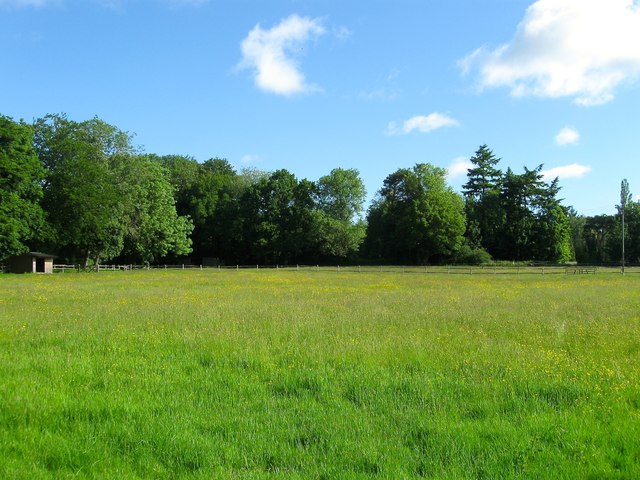
Image: © Simon Carey Taken: 6 Jun 2015
The name of the field according to Ardingly's 1840 tithe map whose name suggests a fertile piece of land. This is the eastern side with the western having been lost to the construction of a number of properties on Church Lane.
Images are licensed for reuse under creativecommons.org/licenses/by-sa/2.0
Image Location
Latitude
51.049486
Longitude
-0.089094