Old concreted track
Introduction
The photograph on this page of Old concreted track by Evelyn Simak as part of the Geograph project.
The Geograph project started in 2005 with the aim of publishing, organising and preserving representative images for every square kilometre of Great Britain, Ireland and the Isle of Man.

There are currently over 7.5m images from over 14,400 individuals and you can help contribute to the project by visiting https://www.geograph.org.uk
Old concreted track
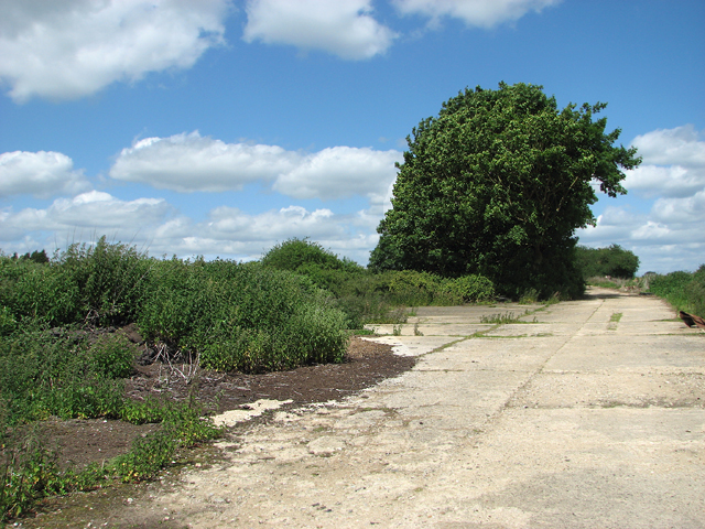
Image: © Evelyn Simak Taken: 6 Jun 2015
This is one of the old concreted roads constructed during WW2, which linked the dispersed camp sites of RAF Eye with each other. The former Mess site was located at the now overgrown area seen at left.
Images are licensed for reuse under creativecommons.org/licenses/by-sa/2.0
Image Location
Latitude
52.339566
Longitude
1.144198