Henry Tudor House
Introduction
The photograph on this page of Henry Tudor House by Gordon Griffiths as part of the Geograph project.
The Geograph project started in 2005 with the aim of publishing, organising and preserving representative images for every square kilometre of Great Britain, Ireland and the Isle of Man.

There are currently over 7.5m images from over 14,400 individuals and you can help contribute to the project by visiting https://www.geograph.org.uk
Henry Tudor House
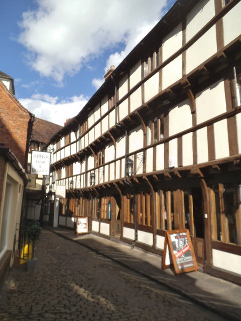
Image: © Gordon Griffiths Taken: 29 May 2015
The view of the restaurant in Barracks Passage in Shrewsbury. The building dates back to the early 1400s.
Images are licensed for reuse under creativecommons.org/licenses/by-sa/2.0
Image Location
Latitude
52.706163
Longitude
-2.751364