Old Radford: Norwood Road
Introduction
The photograph on this page of Old Radford: Norwood Road by John Sutton as part of the Geograph project.
The Geograph project started in 2005 with the aim of publishing, organising and preserving representative images for every square kilometre of Great Britain, Ireland and the Isle of Man.

There are currently over 7.5m images from over 14,400 individuals and you can help contribute to the project by visiting https://www.geograph.org.uk
Old Radford: Norwood Road
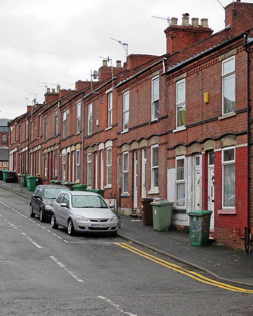
Image: © John Sutton Taken: 2 Jun 2015
A typical red-brick terrace. In years gone by many of the people who lived here would have worked in the nearby cigarette, cycle and hosiery factories. Parts of Radford were cleared in the 1970s and new houses and flats built.
Images are licensed for reuse under creativecommons.org/licenses/by-sa/2.0
Image Location
Latitude
52.958768
Longitude
-1.179572