Green, Woolage Village
Introduction
The photograph on this page of Green, Woolage Village by Robin Webster as part of the Geograph project.
The Geograph project started in 2005 with the aim of publishing, organising and preserving representative images for every square kilometre of Great Britain, Ireland and the Isle of Man.

There are currently over 7.5m images from over 14,400 individuals and you can help contribute to the project by visiting https://www.geograph.org.uk
Green, Woolage Village
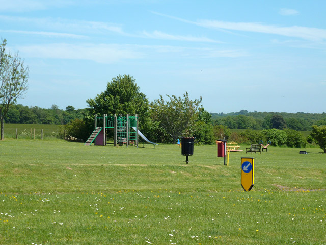
Image: © Robin Webster Taken: 4 Jun 2015
The 1912 development of Woolage Village (for miners at Snowdown Colliery) appears to have a bigger green than the older Woolage Green.
Images are licensed for reuse under creativecommons.org/licenses/by-sa/2.0
Image Location
Latitude
51.206991
Longitude
1.198134