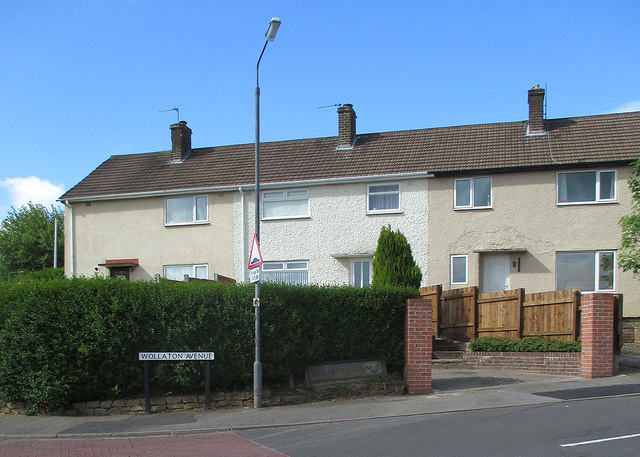
Gedling: the corner of Wollaton Avenue
Introduction
The photograph on this page of Gedling: the corner of Wollaton Avenue by John Sutton as part of the Geograph project.
The Geograph project started in 2005 with the aim of publishing, organising and preserving representative images for every square kilometre of Great Britain, Ireland and the Isle of Man.
There are currently over 7.5m images from over 14,400 individuals and you can help contribute to the project by visiting https://www.geograph.org.uk

Image: © John Sutton Taken: 3 Jun 2015
Gedling was a colliery village, and some of its streets were named after other Nottinghamshire pits. The original ground-level road sign has been replaced by a more conventional one. Alan Murray-Rust's Image] and Image] show two more of this unusual type.

