Forman Street: eating out
Introduction
The photograph on this page of Forman Street: eating out by John Sutton as part of the Geograph project.
The Geograph project started in 2005 with the aim of publishing, organising and preserving representative images for every square kilometre of Great Britain, Ireland and the Isle of Man.

There are currently over 7.5m images from over 14,400 individuals and you can help contribute to the project by visiting https://www.geograph.org.uk
Forman Street: eating out
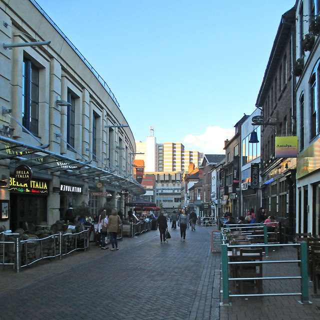
Image: © John Sutton Taken: 3 Jun 2015
A busy street with chain bistros and bars, an independent Turkish restaurant and a long-established pub, The Blue Bell. My grandparents, who lived in Nottingham from the 1870s to the 1960s, would have found the idea of pavement cafes very strange.
Images are licensed for reuse under creativecommons.org/licenses/by-sa/2.0
Image Location
Latitude
52.955414
Longitude
-1.150013