All Saints' church, Cople
Introduction
The photograph on this page of All Saints' church, Cople by Bikeboy as part of the Geograph project.
The Geograph project started in 2005 with the aim of publishing, organising and preserving representative images for every square kilometre of Great Britain, Ireland and the Isle of Man.

There are currently over 7.5m images from over 14,400 individuals and you can help contribute to the project by visiting https://www.geograph.org.uk
All Saints' church, Cople
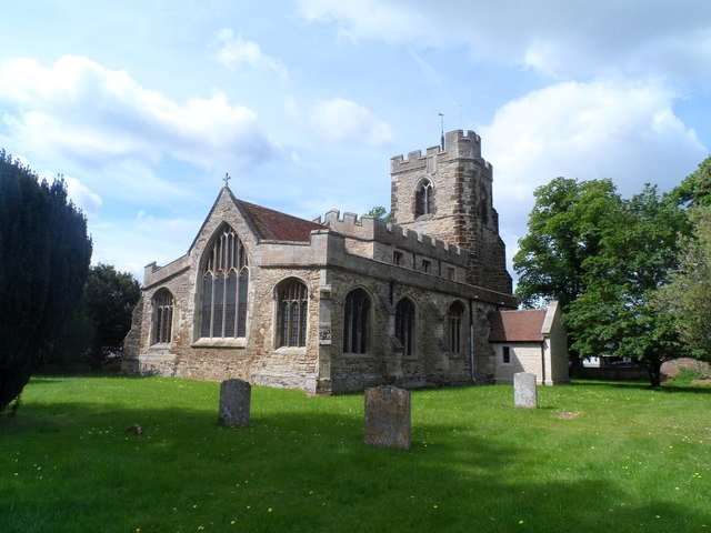
Image: © Bikeboy Taken: 30 May 2015
Built around 1430 originally. Work continued into the next century and the south porch added 200 years later. The north porch shown here is obviously very recent.
Images are licensed for reuse under creativecommons.org/licenses/by-sa/2.0
Image Location
Latitude
52.12345
Longitude
-0.389703