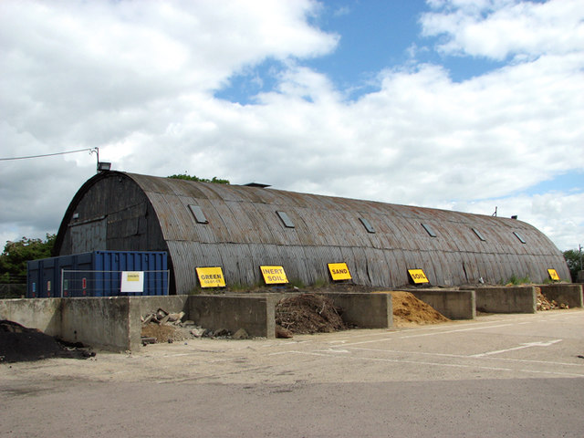
Romney hut on the Council Depot in Liberator Way
Introduction
The photograph on this page of Romney hut on the Council Depot in Liberator Way by Evelyn Simak as part of the Geograph project.
The Geograph project started in 2005 with the aim of publishing, organising and preserving representative images for every square kilometre of Great Britain, Ireland and the Isle of Man.
There are currently over 7.5m images from over 14,400 individuals and you can help contribute to the project by visiting https://www.geograph.org.uk

Image: © Evelyn Simak Taken: 3 Jun 2015
One of the few original buildings which have survived on the former Technical site of RAF Eye, which was an active airfield in WW2. The Council Depot occupies part of a spectacle dispersal and this particular hut would seem to have been moved to its current location from across the road from here. Romney huts are prefabricated steel structures. They were developed during WW2 and constructed of a clamped clamped tubular steel frame with a central entrance. The hut was used to accommodate facilities for which abnormal roof spans were required and on some airfields two or more would be erected to house large stores and workshops.

