Dark clouds over the Brome Industrial Estate
Introduction
The photograph on this page of Dark clouds over the Brome Industrial Estate by Evelyn Simak as part of the Geograph project.
The Geograph project started in 2005 with the aim of publishing, organising and preserving representative images for every square kilometre of Great Britain, Ireland and the Isle of Man.

There are currently over 7.5m images from over 14,400 individuals and you can help contribute to the project by visiting https://www.geograph.org.uk
Dark clouds over the Brome Industrial Estate
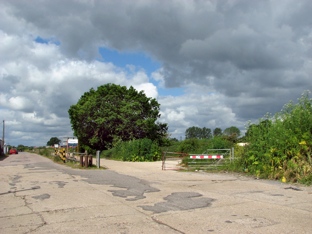
Image: © Evelyn Simak Taken: 3 Jun 2015
View looking along Liberator Way, which skirts the northern periphery of the industrial estate. To the right is one of only a few aircraft dispersals dating from the time when RAF Eye was an active airfield during WW2.
Images are licensed for reuse under creativecommons.org/licenses/by-sa/2.0
Image Location
Latitude
52.339854
Longitude
1.133353