Housing at Linwood
Introduction
The photograph on this page of Housing at Linwood by M J Richardson as part of the Geograph project.
The Geograph project started in 2005 with the aim of publishing, organising and preserving representative images for every square kilometre of Great Britain, Ireland and the Isle of Man.

There are currently over 7.5m images from over 14,400 individuals and you can help contribute to the project by visiting https://www.geograph.org.uk
Housing at Linwood
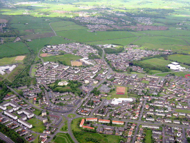
Image: © M J Richardson Taken: 3 Jun 2015
An aerial view looking northwest just after leaving Glasgow on RWY 23. The white building at lower centre is Woodlands Primary School.
Images are licensed for reuse under creativecommons.org/licenses/by-sa/2.0
Image Location
Latitude
55.847339
Longitude
-4.501254