B3251 at Westwell
Introduction
The photograph on this page of B3251 at Westwell by Derek Harper as part of the Geograph project.
The Geograph project started in 2005 with the aim of publishing, organising and preserving representative images for every square kilometre of Great Britain, Ireland and the Isle of Man.

There are currently over 7.5m images from over 14,400 individuals and you can help contribute to the project by visiting https://www.geograph.org.uk
B3251 at Westwell
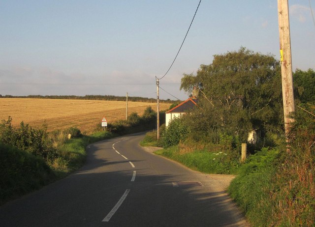
Image: © Derek Harper Taken: 10 Sep 2014
A gentle double bend where the B road crosses the head of a side valley of the Seaton.
Images are licensed for reuse under creativecommons.org/licenses/by-sa/2.0
Image Location
Latitude
50.413737
Longitude
-4.425903