
View down the B6309 south of Wittonstall
Introduction
The photograph on this page of View down the B6309 south of Wittonstall by Robert Graham as part of the Geograph project.
The Geograph project started in 2005 with the aim of publishing, organising and preserving representative images for every square kilometre of Great Britain, Ireland and the Isle of Man.

There are currently over 7.5m images from over 14,400 individuals and you can help contribute to the project by visiting https://www.geograph.org.uk
View down the B6309 south of Wittonstall
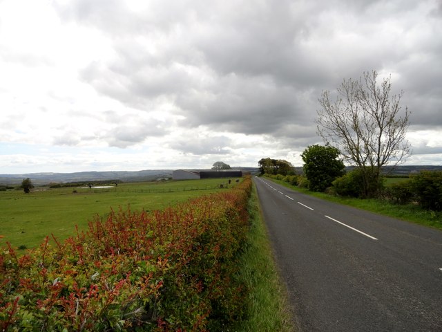
Image: © Robert Graham Taken: 3 Jun 2015
This is the line of Roman Dere Street. This section ran between the forts at Ebchester and Cordridge. It's a long climb up from the crossing of the Derwent at Ebchester to the top of the hill at Wittonstall. About 150m actually (500 feet) in only 3km. You can imagine the infantry cursing as they slogged up here in their armour. The farm in the distance is Wittonstall Hall Farm.
Images are licensed for reuse under creativecommons.org/licenses/by-sa/2.0
Image Location

Latitude
54.906129
Longitude
-1.880193