Cricket on Pontardawe Recreation Ground
Introduction
The photograph on this page of Cricket on Pontardawe Recreation Ground by John B as part of the Geograph project.
The Geograph project started in 2005 with the aim of publishing, organising and preserving representative images for every square kilometre of Great Britain, Ireland and the Isle of Man.

There are currently over 7.5m images from over 14,400 individuals and you can help contribute to the project by visiting https://www.geograph.org.uk
Cricket on Pontardawe Recreation Ground
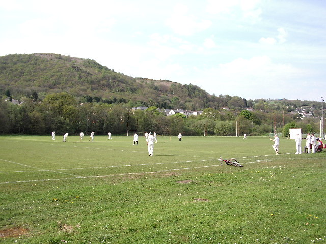
Image: © John B Taken: 18 May 2005
Pontardawe Recreation Ground is on the flood plain of the River Tawe, which is behind the trees on the right of the photograph. The Swansea Canal runs below the houses.
Images are licensed for reuse under creativecommons.org/licenses/by-sa/2.0
Image Location


Leaflet Map data © OpenStreetMap
Latitude
51.72385
Longitude
-3.842972