Y Cyt / The Cut at Pensyflog, Porthmadog
Introduction
The photograph on this page of Y Cyt / The Cut at Pensyflog, Porthmadog by Christine Johnstone as part of the Geograph project.
The Geograph project started in 2005 with the aim of publishing, organising and preserving representative images for every square kilometre of Great Britain, Ireland and the Isle of Man.

There are currently over 7.5m images from over 14,400 individuals and you can help contribute to the project by visiting https://www.geograph.org.uk
Y Cyt / The Cut at Pensyflog, Porthmadog
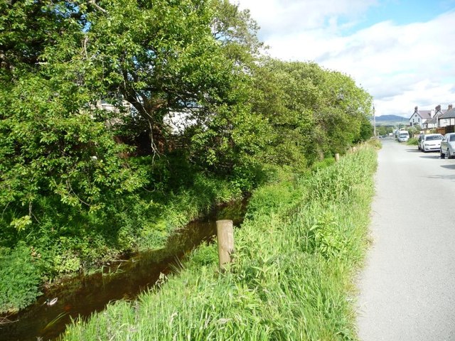
Image: © Christine Johnstone Taken: 29 May 2015
The access road is also a public footpath. The footpath follows the line of the Gorseddau tramway from distant slate quarries to the harbour, and the tramway itself followed the once-navigable canal between Tremadog and the coast.
Images are licensed for reuse under creativecommons.org/licenses/by-sa/2.0
Image Location
Latitude
52.932054
Longitude
-4.136139