Fields at Beckland Lane
Introduction
The photograph on this page of Fields at Beckland Lane by Nigel Mykura as part of the Geograph project.
The Geograph project started in 2005 with the aim of publishing, organising and preserving representative images for every square kilometre of Great Britain, Ireland and the Isle of Man.

There are currently over 7.5m images from over 14,400 individuals and you can help contribute to the project by visiting https://www.geograph.org.uk
Fields at Beckland Lane
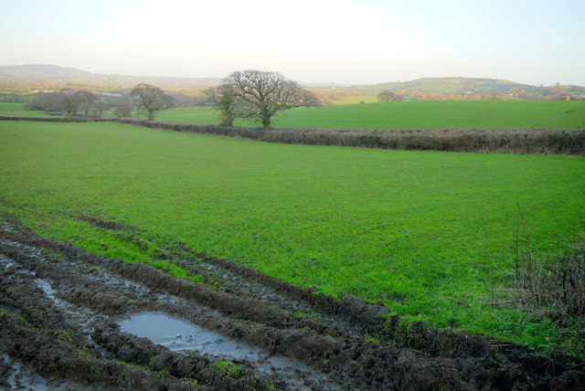
Image: © Nigel Mykura Taken: 24 Jan 2015
View across the fields of the square towards the high land of Dorset. The highest hill in Dorset is visible, Lewesdon Hill on the left, with Denhay Hill on the right.
Images are licensed for reuse under creativecommons.org/licenses/by-sa/2.0
Image Location


Leaflet Map data © OpenStreetMap
Latitude
50.758066
Longitude
-2.873977