Oram's Arbour, Winchester
Introduction
The photograph on this page of Oram's Arbour, Winchester by Stephen Richards as part of the Geograph project.
The Geograph project started in 2005 with the aim of publishing, organising and preserving representative images for every square kilometre of Great Britain, Ireland and the Isle of Man.

There are currently over 7.5m images from over 14,400 individuals and you can help contribute to the project by visiting https://www.geograph.org.uk
Oram's Arbour, Winchester
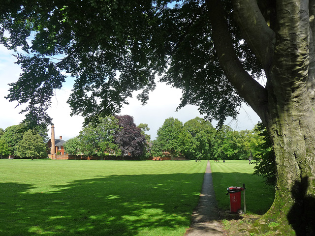
Image: © Stephen Richards Taken: 13 Jul 2012
The former incinerator chimney of the nearby workhouse (now housing) survives on the left.
Images are licensed for reuse under creativecommons.org/licenses/by-sa/2.0
Image Location
Latitude
51.064492
Longitude
-1.322523