Horse Chestnut Tree at Highfield Residential Home
Introduction
The photograph on this page of Horse Chestnut Tree at Highfield Residential Home by Geographer as part of the Geograph project.
The Geograph project started in 2005 with the aim of publishing, organising and preserving representative images for every square kilometre of Great Britain, Ireland and the Isle of Man.

There are currently over 7.5m images from over 14,400 individuals and you can help contribute to the project by visiting https://www.geograph.org.uk
Horse Chestnut Tree at Highfield Residential Home
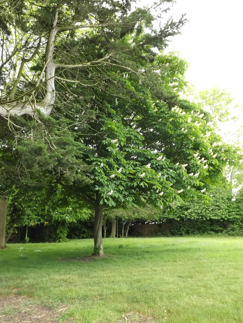
Image: © Geographer Taken: 27 May 2015
Off the A144 London Road at the junction with the A144 Bramfield Road
Images are licensed for reuse under creativecommons.org/licenses/by-sa/2.0
Image Location
Latitude
52.337498
Longitude
1.499247