The Common Ditch
Introduction
The photograph on this page of The Common Ditch by Des Blenkinsopp as part of the Geograph project.
The Geograph project started in 2005 with the aim of publishing, organising and preserving representative images for every square kilometre of Great Britain, Ireland and the Isle of Man.

There are currently over 7.5m images from over 14,400 individuals and you can help contribute to the project by visiting https://www.geograph.org.uk
The Common Ditch
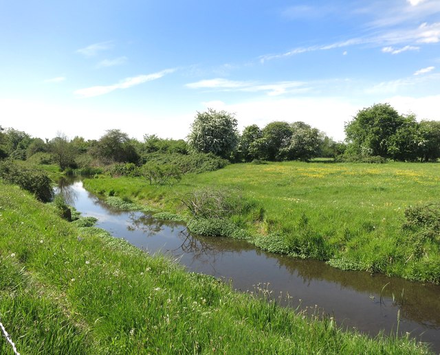
Image: © Des Blenkinsopp Taken: 13 May 2015
This stream drains Eton Great Common, a tract of access land between the Jubilee River and the Thames.
Images are licensed for reuse under creativecommons.org/licenses/by-sa/2.0
Image Location
Latitude
51.497541
Longitude
-0.631411