Talke Pits: Pit Lane
Introduction
The photograph on this page of Talke Pits: Pit Lane by Jonathan Hutchins as part of the Geograph project.
The Geograph project started in 2005 with the aim of publishing, organising and preserving representative images for every square kilometre of Great Britain, Ireland and the Isle of Man.

There are currently over 7.5m images from over 14,400 individuals and you can help contribute to the project by visiting https://www.geograph.org.uk
Talke Pits: Pit Lane
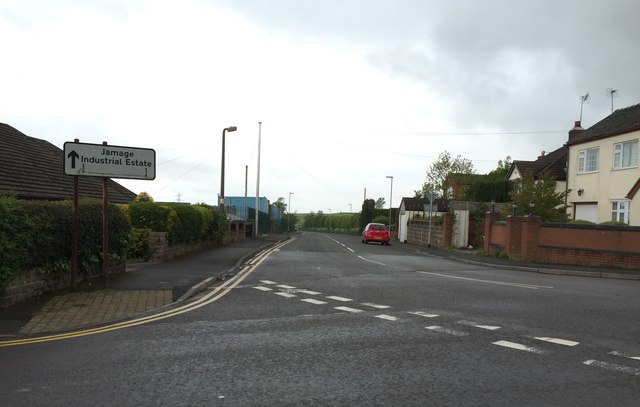
Image: © Jonathan Hutchins Taken: 30 May 2015
Leads past the Jamage Industrial Estate on the left. The pavement on the right is also the route of a public footpath, designated Kidsgrove 203.
Images are licensed for reuse under creativecommons.org/licenses/by-sa/2.0
Image Location
Latitude
53.072055
Longitude
-2.261748