Holton-le-Moor station building
Introduction
The photograph on this page of Holton-le-Moor station building by Brian Westlake as part of the Geograph project.
The Geograph project started in 2005 with the aim of publishing, organising and preserving representative images for every square kilometre of Great Britain, Ireland and the Isle of Man.

There are currently over 7.5m images from over 14,400 individuals and you can help contribute to the project by visiting https://www.geograph.org.uk
Holton-le-Moor station building
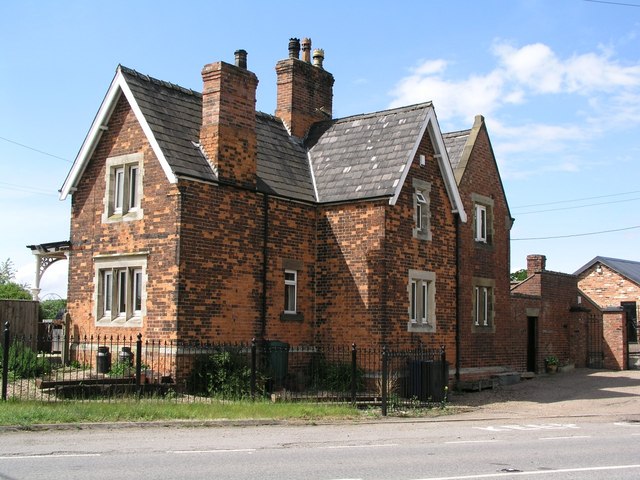
Image: © Brian Westlake Taken: 12 May 2007
The station on the Grimsby to Lincoln line was closed in 1965 and is now a private home. As well as some railway-related signs, the building also carries an Ordnance Survey flush bracket bench mark. See http://www.geograph.org.uk/photo/4504707 for a close-up and http://www.bench-marks.org.uk/bm19066 for details of the mark.
Images are licensed for reuse under creativecommons.org/licenses/by-sa/2.0
Image Location


Leaflet Map data © OpenStreetMap
Latitude
53.462294
Longitude
-0.355905