Track to Wolfstone Heights, Netherthong
Introduction
The photograph on this page of Track to Wolfstone Heights, Netherthong by Humphrey Bolton as part of the Geograph project.
The Geograph project started in 2005 with the aim of publishing, organising and preserving representative images for every square kilometre of Great Britain, Ireland and the Isle of Man.

There are currently over 7.5m images from over 14,400 individuals and you can help contribute to the project by visiting https://www.geograph.org.uk
Track to Wolfstone Heights, Netherthong
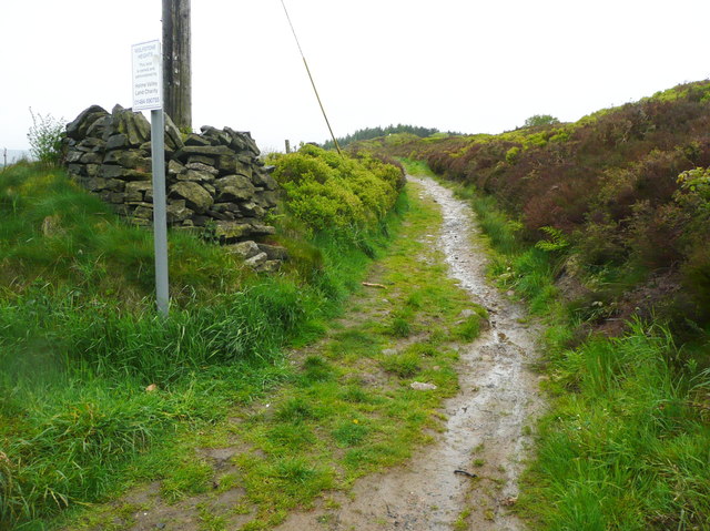
Image: © Humphrey Bolton Taken: 1 Jun 2015
The sign reads "Wolfstone Heights / This land is owned and administered by the Holme Valley Land Charity" (plus a telephone number). This charity was set up to take over from two previous charities to deal with former quarry sites in Holmfirth which had no known registered owner. Some of the sites have been sold, but this one has been retained with public access for informal recreation.
Images are licensed for reuse under creativecommons.org/licenses/by-sa/2.0
Image Location
Latitude
53.578435
Longitude
-1.809966