St Deiniol's Church, Itton
Introduction
The photograph on this page of St Deiniol's Church, Itton by Andy Stott as part of the Geograph project.
The Geograph project started in 2005 with the aim of publishing, organising and preserving representative images for every square kilometre of Great Britain, Ireland and the Isle of Man.

There are currently over 7.5m images from over 14,400 individuals and you can help contribute to the project by visiting https://www.geograph.org.uk
St Deiniol's Church, Itton
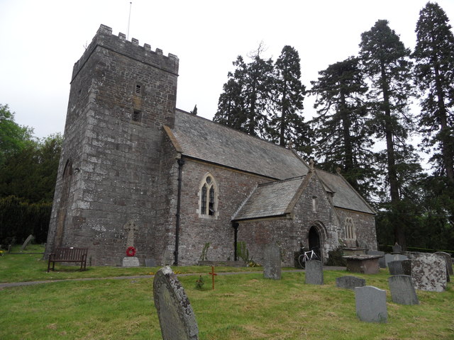
Image: © Andy Stott Taken: 1 Jun 2012
Churches and chapels (no 16). Yet another photo! The parish church dates in part from the 14th century although it was mostly rebuilt in 1869.
Images are licensed for reuse under creativecommons.org/licenses/by-sa/2.0
Image Location
Latitude
51.654101
Longitude
-2.734124