Duttons Road south of Malmesbury Road, Romsey
Introduction
The photograph on this page of Duttons Road south of Malmesbury Road, Romsey by Jaggery as part of the Geograph project.
The Geograph project started in 2005 with the aim of publishing, organising and preserving representative images for every square kilometre of Great Britain, Ireland and the Isle of Man.

There are currently over 7.5m images from over 14,400 individuals and you can help contribute to the project by visiting https://www.geograph.org.uk
Duttons Road south of Malmesbury Road, Romsey
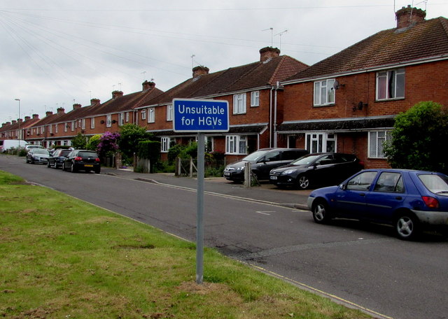
Image: © Jaggery Taken: 31 May 2015
Duttons Road behind the camera is the A3057. Duttons Road ahead is unclassified and unsuitable for heavy goods vehicles.
Images are licensed for reuse under creativecommons.org/licenses/by-sa/2.0
Image Location
Latitude
50.992984
Longitude
-1.496829