Boat Pot, River Don
Introduction
The photograph on this page of Boat Pot, River Don by Stanley Howe as part of the Geograph project.
The Geograph project started in 2005 with the aim of publishing, organising and preserving representative images for every square kilometre of Great Britain, Ireland and the Isle of Man.

There are currently over 7.5m images from over 14,400 individuals and you can help contribute to the project by visiting https://www.geograph.org.uk
Boat Pot, River Don
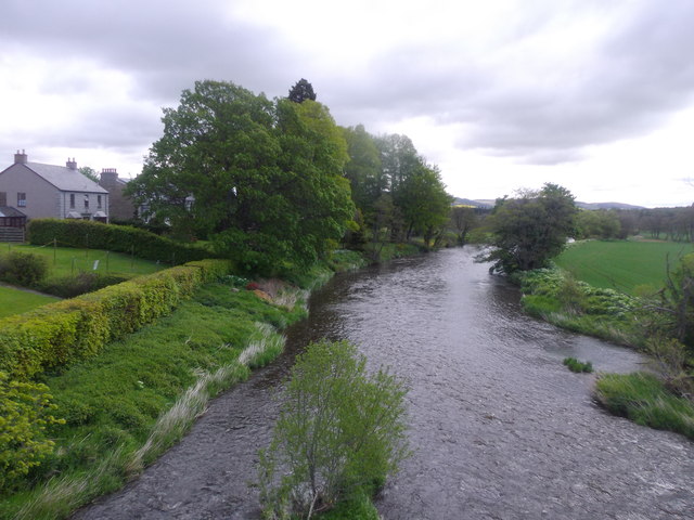
Image: © Stanley Howe Taken: 30 May 2015
A fishing beat below Bridge of Alford; viewed from Telford's 3-arch stone bridge of 1811. Waterside houses on left.
Images are licensed for reuse under creativecommons.org/licenses/by-sa/2.0
Image Location
Latitude
57.243486
Longitude
-2.726889