Listed pier
Introduction
The photograph on this page of Listed pier by Michael Dibb as part of the Geograph project.
The Geograph project started in 2005 with the aim of publishing, organising and preserving representative images for every square kilometre of Great Britain, Ireland and the Isle of Man.

There are currently over 7.5m images from over 14,400 individuals and you can help contribute to the project by visiting https://www.geograph.org.uk
Listed pier
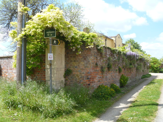
Image: © Michael Dibb Taken: 23 May 2015
This lovely pier forms the corner to the walled garden of The Old Rectory. Listed grade II details are at: http://list.historicengland.org.uk/resultsingle.aspx?uid=1033781
Images are licensed for reuse under creativecommons.org/licenses/by-sa/2.0
Image Location
Latitude
51.353524
Longitude
-1.901871