Boundary Lane Industry
Introduction
The photograph on this page of Boundary Lane Industry by Dennis Turner as part of the Geograph project.
The Geograph project started in 2005 with the aim of publishing, organising and preserving representative images for every square kilometre of Great Britain, Ireland and the Isle of Man.

There are currently over 7.5m images from over 14,400 individuals and you can help contribute to the project by visiting https://www.geograph.org.uk
Boundary Lane Industry
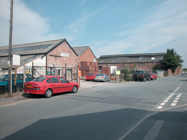
Image: © Dennis Turner Taken: 18 Aug 2005
Boundary Lane, so-named as it marks the boundary between England and the Principality of Wales. Until "Beeching" nearby railway sidings served industry on the Welsh side of the border.
Images are licensed for reuse under creativecommons.org/licenses/by-sa/2.0
Image Location


Leaflet Map data © OpenStreetMap
Latitude
53.175836
Longitude
-2.921583