
Crossing the Tame at Perry Barr - Birmingham
Introduction
The photograph on this page of Crossing the Tame at Perry Barr - Birmingham by Martin Richard Phelan as part of the Geograph project.
The Geograph project started in 2005 with the aim of publishing, organising and preserving representative images for every square kilometre of Great Britain, Ireland and the Isle of Man.

There are currently over 7.5m images from over 14,400 individuals and you can help contribute to the project by visiting https://www.geograph.org.uk
Crossing the Tame at Perry Barr - Birmingham
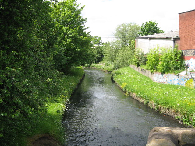
Image: © Martin Richard Phelan Taken: 30 May 2015
A view westwards of the River Tame facing upstream from Zig-zag Bridge on a sunny afternoon in late May. The Tame is considered to have two sources, at Oldbury and Willenhall, near Wolverhampton. It runs from there for 95 kms to its confluence with the River Trent near Alrewas and has been a source of flooding problems due to the urbanised nature of the area of its source. The name of Tame is said to mean 'dark' from the Sanskrit word 'tamas' meaning darkness. Zig-zag Bridge, aka Perry Bridge, was built in 1711 and seems to have weathered its years rather well (Wikipedia). Time photo taken 1.39 pm BST (British Summer Time).
Images are licensed for reuse under creativecommons.org/licenses/by-sa/2.0
Image Location

Latitude
52.52538
Longitude
-1.897813