Egham bypass
Introduction
The photograph on this page of Egham bypass by Stephen Craven as part of the Geograph project.
The Geograph project started in 2005 with the aim of publishing, organising and preserving representative images for every square kilometre of Great Britain, Ireland and the Isle of Man.

There are currently over 7.5m images from over 14,400 individuals and you can help contribute to the project by visiting https://www.geograph.org.uk
Egham bypass
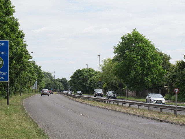
Image: © Stephen Craven Taken: 25 May 2015
This stretch of the A30, a dual-carriageway bypass with a 50mph speed limit, was opened in 1935 (source: http://www.sabre-roads.org.uk/wiki/index.php?title=Network_changes_-_1930s ).
Images are licensed for reuse under creativecommons.org/licenses/by-sa/2.0
Image Location
Latitude
51.435798
Longitude
-0.54449