Housing adjacent to Penarvon Cove
Introduction
The photograph on this page of Housing adjacent to Penarvon Cove by Dr Duncan Pepper as part of the Geograph project.
The Geograph project started in 2005 with the aim of publishing, organising and preserving representative images for every square kilometre of Great Britain, Ireland and the Isle of Man.

There are currently over 7.5m images from over 14,400 individuals and you can help contribute to the project by visiting https://www.geograph.org.uk
Housing adjacent to Penarvon Cove
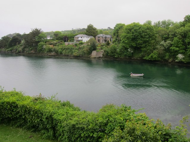
Image: © Dr Duncan Pepper Taken: 24 May 2015
At this point on the Eastern bank the coastal path has to divert inland to the village of Helford to avoid private housing.
Images are licensed for reuse under creativecommons.org/licenses/by-sa/2.0
Image Location
Latitude
50.094663
Longitude
-5.136181