Farm access above Buttington
Introduction
The photograph on this page of Farm access above Buttington by David Smith as part of the Geograph project.
The Geograph project started in 2005 with the aim of publishing, organising and preserving representative images for every square kilometre of Great Britain, Ireland and the Isle of Man.

There are currently over 7.5m images from over 14,400 individuals and you can help contribute to the project by visiting https://www.geograph.org.uk
Farm access above Buttington
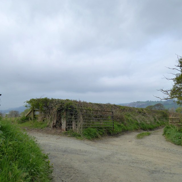
Image: © David Smith Taken: 24 Apr 2015
The track ahead leads down to Buttington, but traffic has to follow a longer route via the A458
Images are licensed for reuse under creativecommons.org/licenses/by-sa/2.0
Image Location
Latitude
52.669072
Longitude
-3.102832