Turnpike Court, Hett Close, Ardingly
Introduction
The photograph on this page of Turnpike Court, Hett Close, Ardingly by Simon Carey as part of the Geograph project.
The Geograph project started in 2005 with the aim of publishing, organising and preserving representative images for every square kilometre of Great Britain, Ireland and the Isle of Man.

There are currently over 7.5m images from over 14,400 individuals and you can help contribute to the project by visiting https://www.geograph.org.uk
Turnpike Court, Hett Close, Ardingly
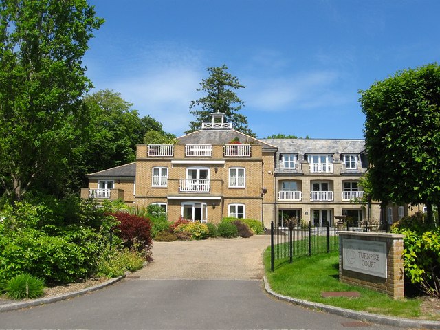
Image: © Simon Carey Taken: 27 May 2015
A block of retirement homes built in 2002 on the site of Turnpike Field according to Ardingly's 1840 tithe map. The turnpike from both names refers to the adjacent B2028 which was a former London-Brighton route during the coaching days.
Images are licensed for reuse under creativecommons.org/licenses/by-sa/2.0
Image Location
Latitude
51.051662
Longitude
-0.07916