Alum House Lane
Introduction
The photograph on this page of Alum House Lane by Bill Boaden as part of the Geograph project.
The Geograph project started in 2005 with the aim of publishing, organising and preserving representative images for every square kilometre of Great Britain, Ireland and the Isle of Man.

There are currently over 7.5m images from over 14,400 individuals and you can help contribute to the project by visiting https://www.geograph.org.uk
Alum House Lane
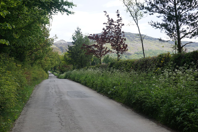
Image: © Bill Boaden Taken: 21 May 2015
Looking towards Carlton Bank where the remains of former alum quarries can be seen.
Images are licensed for reuse under creativecommons.org/licenses/by-sa/2.0
Image Location
Latitude
54.429139
Longitude
-1.214145