Hurlet Hill
Introduction
The photograph on this page of Hurlet Hill by Rude Health as part of the Geograph project.
The Geograph project started in 2005 with the aim of publishing, organising and preserving representative images for every square kilometre of Great Britain, Ireland and the Isle of Man.

There are currently over 7.5m images from over 14,400 individuals and you can help contribute to the project by visiting https://www.geograph.org.uk
Hurlet Hill
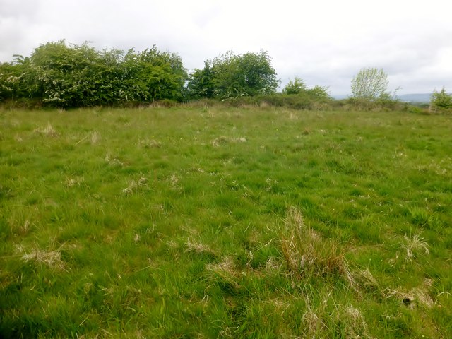
Image: © Rude Health Taken: 27 May 2015
Trig, summit and Glasgow completion. Name: Hurlet Hill Hill number: 13749 Height: 66m / 217ft Parent (Ma/M): 1686 Corse Hill Section: 27A: Ayr to the River Clyde County/UA: Glasgow (UA) Class: Tump (0-99m) Grid ref: NS 51403 61196 Summit feature: no feature Drop: 34m Col: 32m NS509606
Images are licensed for reuse under creativecommons.org/licenses/by-sa/2.0
Image Location
Latitude
55.820932
Longitude
-4.373435