Fire hydrant plate and benchmark, Harveys Road, South Petherton
Introduction
The photograph on this page of Fire hydrant plate and benchmark, Harveys Road, South Petherton by Becky Williamson as part of the Geograph project.
The Geograph project started in 2005 with the aim of publishing, organising and preserving representative images for every square kilometre of Great Britain, Ireland and the Isle of Man.

There are currently over 7.5m images from over 14,400 individuals and you can help contribute to the project by visiting https://www.geograph.org.uk
Fire hydrant plate and benchmark, Harveys Road, South Petherton
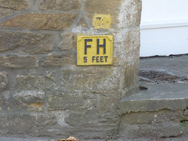
Image: © Becky Williamson Taken: 28 May 2015
Ordnance Survey benchmark, described on database at http://www.bench-marks.org.uk/bm67102. See also Image
Images are licensed for reuse under creativecommons.org/licenses/by-sa/2.0
Image Location
Latitude
50.948331
Longitude
-2.806664