Fenced off former Clay Farm field
Introduction
The photograph on this page of Fenced off former Clay Farm field by Fernweh as part of the Geograph project.
The Geograph project started in 2005 with the aim of publishing, organising and preserving representative images for every square kilometre of Great Britain, Ireland and the Isle of Man.

There are currently over 7.5m images from over 14,400 individuals and you can help contribute to the project by visiting https://www.geograph.org.uk
Fenced off former Clay Farm field
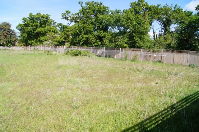
Image: © Fernweh Taken: 17 May 2015
One of the last fields to remain untouched. Most of the others are now being built upon, this will be once the other phases of construction are completed.
Images are licensed for reuse under creativecommons.org/licenses/by-sa/2.0
Image Location
Latitude
52.179755
Longitude
0.120753